A University of Cambridge team has built a satellite-based AI model that identifies crop types across Senegal with 84% accuracy—using far less ground-truth data than conventional approaches, potentially unlocking precision agriculture for millions of smallholder farmers.
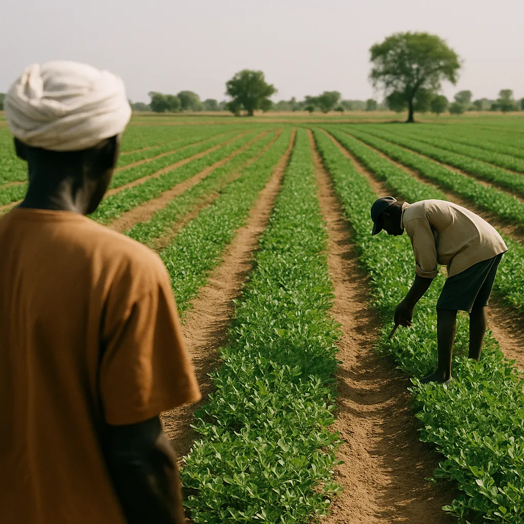
Researchers at the University of Cambridge have built a satellite-based AI model that identifies crop types across Senegal's primary groundnut-growing region with 84% accuracy—using far less ground-truth data than conventional remote sensing approaches require. The breakthrough could make precision agriculture scalable for smallholder farmers across Sub-Saharan Africa, where the cost of on-the-ground data collection has historically made AI-powered crop monitoring inaccessible.
Why it matters: Precision agriculture AI tools have been available for large commercial farms for years, but their data requirements have kept them out of reach for the smallholder farmers who grow most of Africa's food. A model that works with minimal ground data changes that equation fundamentally.
The Data Problem the Research Solves
Conventional satellite crop mapping systems rely on extensive ground-truth datasets: researchers physically visit fields, record what's growing, and use those observations to train models that interpret satellite imagery. In high-income agricultural regions—the U.S. Corn Belt, European grain zones—governments and farm operators have collected this data systematically for decades.
In Sub-Saharan Africa, the data barely exists. Field surveys are expensive, road infrastructure is limited, and smallholder plots are often too small and irregularly shaped to appear cleanly in medium-resolution satellite imagery. As a result, farmers in regions like Senegal's groundnut basin have been excluded from the satellite-based crop monitoring tools that help farmers in wealthier regions make better planting, irrigation, and harvest decisions.
The Cambridge research addresses this directly by developing a model architecture that extrapolates from sparse ground-truth observations—a technique called few-shot learning applied to agricultural remote sensing.
What the Model Does
The system analyzes multispectral satellite imagery—data captured across multiple wavelength bands, not just visible light—to identify the spectral signature patterns associated with different crop types at different growth stages. In Senegal's context, the primary target is distinguishing groundnut cultivation from millet, sorghum, fallow land, and natural vegetation.
Get this in your inbox.
Daily AI intelligence. Free. No spam.
At 84% accuracy with minimal ground-truth data, the system outperforms what was previously achievable in this data environment. The team's validation approach compared AI-identified crop types against field survey data from a subset of plots, confirming the model's generalizability rather than overfitting to a narrow training set.
Practically, the output is a crop map: a spatial layer showing which fields are growing which crops, updated as new satellite imagery becomes available. When integrated with weather data, market prices, and soil information, crop maps like this enable:
- Targeted extension services — agricultural advisors can identify which farmers are growing a particular crop and deliver relevant advice at scale
- Yield forecasting — governments and food security agencies can estimate harvest volumes before collection to plan for shortfalls
- Input access — fertilizer and seed programs can target farmers growing specific crops without requiring manual registration
The Scaling Case
Senegal's groundnut region was chosen as the study area because it represents a meaningful test: moderate field fragmentation, limited existing ground data, and a crop (groundnut, also called peanut) that is economically significant and visually similar to some competing crops in satellite imagery.
The researchers argue the architecture is transferable to other Sub-Saharan contexts with similar data constraints. That's the larger claim, and the one that matters most for impact: if the approach works in Ethiopia's teff-growing highlands, Nigeria's cassava belt, or Tanzania's maize regions without rebuilding the ground-truth dataset from scratch, it becomes a genuine platform technology rather than a Senegal-specific tool.
What This Means for Agricultural AI Access
The cost asymmetry in agricultural AI has been stark. Large commercial farms in the U.S. spend thousands of dollars per year on precision agriculture platforms that provide field-level recommendations. Smallholder farmers in Africa—who typically farm two to five hectares and operate on narrow margins—have had access to generic weather information at best.
A crop mapping model that works with sparse data reduces one of the core costs in building those precision tools for smallholder contexts. It doesn't eliminate all the other costs—connectivity, device access, language localization, agronomic extension—but it removes a technical barrier that has been cited repeatedly as a reason AI agriculture tools don't reach the farmers who need them most.
What to Watch
The Cambridge team's next steps will determine whether this moves from academic demonstration to field deployment. The relevant pathway is through organizations like the Consultative Group for International Agricultural Research (CGIAR), national agricultural ministries in West Africa, and development finance institutions like the World Bank's agriculture programs—all of whom have both the data infrastructure and the distribution channels to deploy crop mapping tools at national scale.
If a West African government integrates this approach into its official crop area estimation program, that validation will matter more than any further academic benchmark.
Did this help you understand AI better?
Your feedback helps us write more useful content.
Get tomorrow's AI briefing
Join readers who start their day with NexChron. Free, daily, no spam.